True relief
Built on grid data
faithfully reproduced
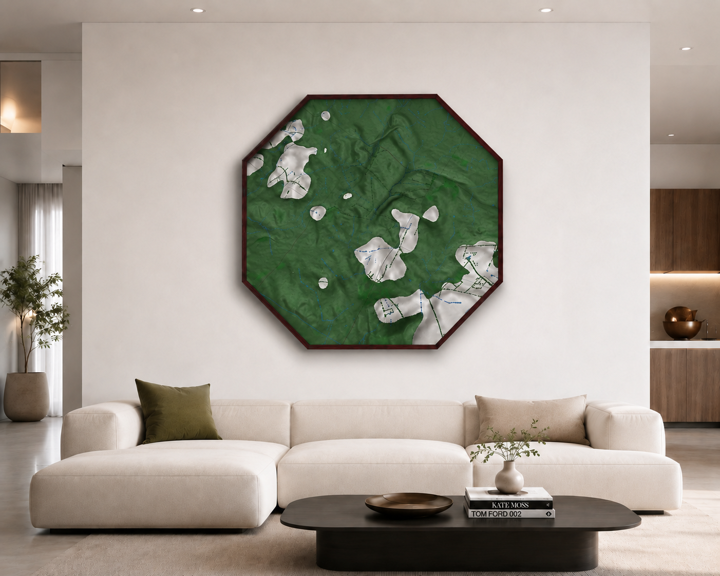
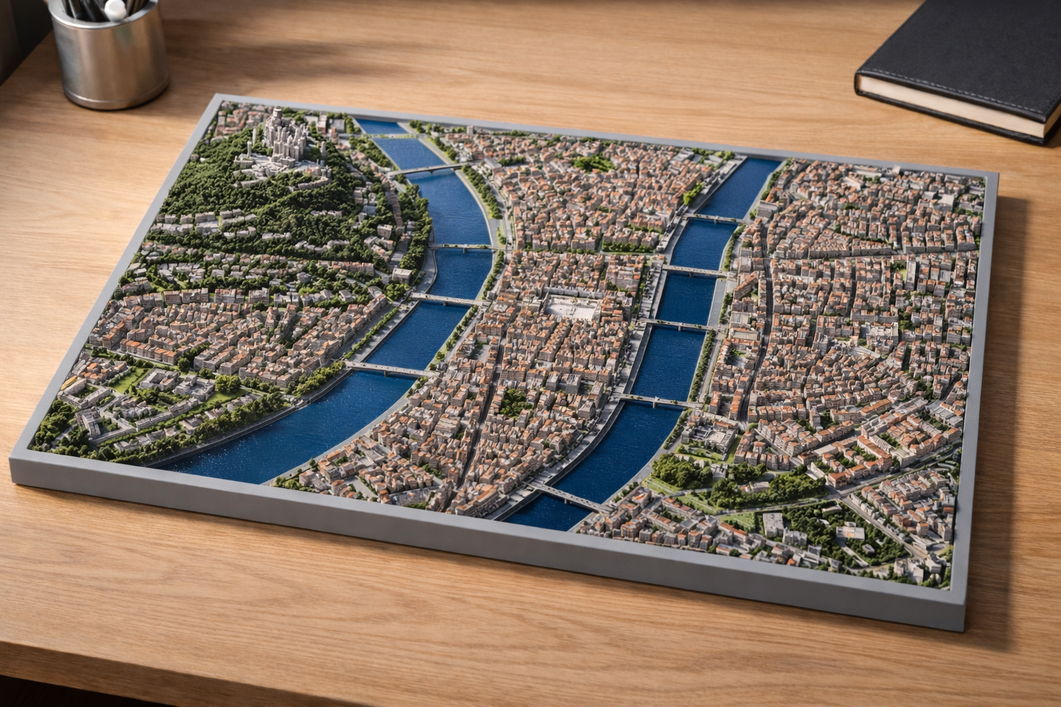
3D-printed topographic maps. Real terrain, accurate data, full customization.
Every Relievo map is built from reliable geographic data, then 3D-printed
with elevations, buildings, roads and vegetation — a precise mapping tool,
modular and customizable.
Built on grid data
faithfully reproduced
Assemblable and combinable,
repeatable or complementary
Produced on demand to
your specifications
Your address, GPS coordinates or a free area.
Your home, favourite neighbourhood, a travel
memory or any territory.
Parks • Lakes • World sites
Peaks • Discover • Landmarks
remote, connected areas
The .3mf file of your location — 3D printing, render or animation.
3D preview, multi-color, modular.
Very large format, specific project, series
or public body — individuals and pros alike